Tagged: Map

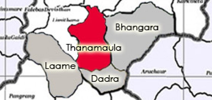
Map of Thanamaula

Thanamaula – Char Bhanjyang Village

1. Geography: Situated in the central part of Parbat district, Thana maula village development committee plays a critical role for the integration of Char bhannjyang. This VDC is environed by Bhangara VDC in the...

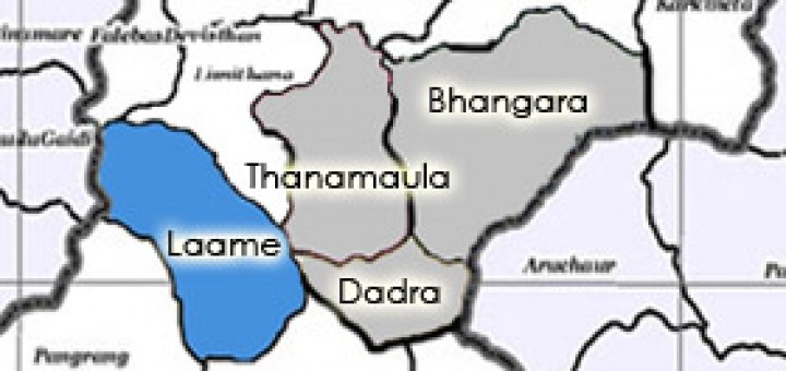
Map of Laame

Laame- Char Bhanjyang Village

Located on south east of Parbat district, beautiful Lame Gaun lies 65 km from Pokhara city. The population of the village comprises of Gurung, Bahun, Newar and other occupational castes. These diverse ethnic groups...

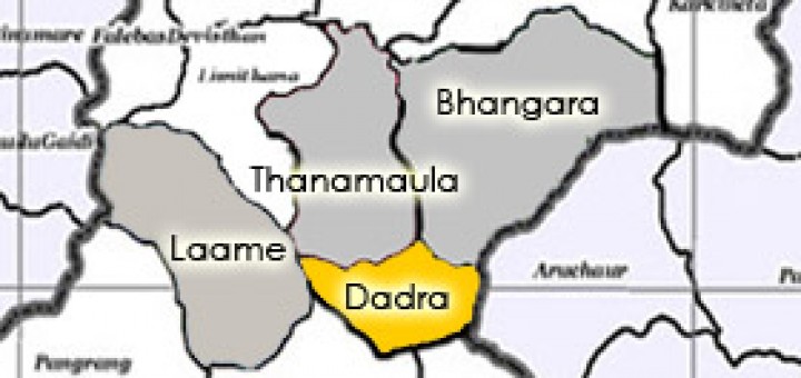
Map of Dadra

Dadra – Char Bhanjyang Village

Resource collector: Dev Gurung Brief Introduction of Wondrous Dadra The fascinating Dadra VDC, rich in natural resources is one of the villages of Char Bhanjyang Tamu Samaj, which is elevated approximately 6,500 ft from...

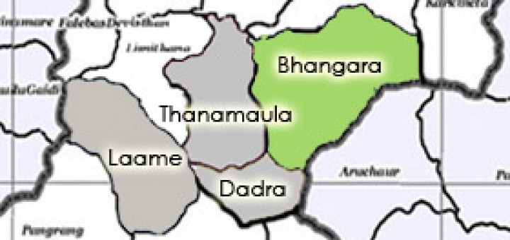
Map of Bhangara

Bhangara – Char Bhanjyang Village

“MY VILLAGE – BHANGARA: A SHORT DESCRIPTION” By Mr Sachin Gurung Bhangara is a small and beautiful Gurung village located at the Mid-Western part of Nepal in Parbat District, Dhawlagiri Zone, Nepal. Bhangara is...